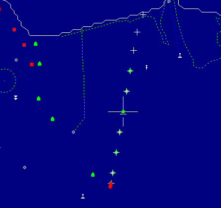

Quest Underwater Services in Dorset was contracted to inspect a long sewer outfall on the south coast of England. The positions of all the inspection hatches were given to them by the local council in OSGB (Ordnance Survey of Great Britain) Eastings and Northings. No problems for Portable Navigator. Using a rough coastline chart downloaded from the NOAA website as a basis, the waypoints were added in OSGB long format and instantly converted by Portable Navigator to WGS84 Lat / Long positions accurate to the 5th place of decimal minutes (equivalent to 10 cms). Using Portable Navigator the work boat was navigated as close as possible to each waypoint position and a marker buoy dropped. The divers then entered the water and conducted a 10 mtr spiral search around the marker.

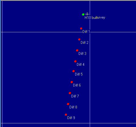
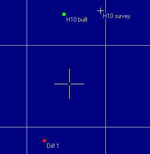
Each dive target was quickly located and the entire job was completed in one day. In the views shown below the extreme zoom capabilities of Portable Navigator are demonstrated. The graticule in the first view is 100 mtrs; in the second view the graticule is 10 mtrs enabling the two positions for H10 to be resolved. Quest Underwater Services website is www.questmarine.co.uk


.