British Waterways Multi Channel Shallow Water Sounder

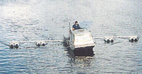
Specially adapted workboat with floating transducer booms


BW also offers a full hydrographic modelling capability and a dredging/disposals consultancy based on their management experience of the canal system. Recent projects have also included consultancy work on the re-opening of the Krishnarpur Canal, Calcutta. and the Millennium Link in Scotland. Further information from The Canal & River Trust which replaced British Waterways in 2012.
On 2 July 2012, British Waterways ceased to exist in England and Wales and in its place the Canal & River Trust was set up to care for 2,000 miles of historic waterways. For more information follow this link: Canal & River Trust
| A specially adapted work boat with four sounder transducers mounted on booms supported by floats is equipped with an accurate DGPS system. The operator drives the boat at 4 knots up and down the canal covering the required area. |

|

|
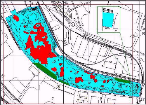
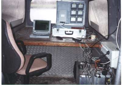
A customised version of Portable Navigator logs the data and plots the swathe showing the boat and the booms on the chart. The logged data is later exported to a GIS package for display and analysis. |
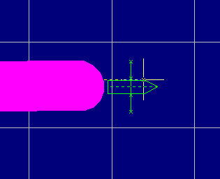
| During logging Portable Navigator displays and logs the position of all the transducers, using the heading of the work boat and the sensor geometry. The optional Swathe Plot enables the helmsman to see the ground covered. |

|